

Mang Den: high-altitude mists and the gentle forests of the Central Highlands
- Recommended months
- November – april Spring · Autumn · Winter
Why try it?
Located more than 1,200 metres above sea level in Kon Plông district, in the north of Kon Tum province, the small hill station of Măng Đen sits on an undulating plateau ringed by primary pine forests and steep mountain ranges. Nicknamed the second Da Lat because of its consistently temperate climate, this little town offers an atmosphere radically different from the tropical plains of the South, marked by dense morning mists and distinctly cool nights. Its identity rests on a preserved balance between untamed forest, a rich network of waterfalls and lakes, and the cultural heritage of the ethnic minorities of the highlands. For travellers in search of serenity and authentic ecotourism, Măng Đen is a favourite stopover, away from the major industrialised tourist circuits.
Geographical location and getting there from the regional hubs
Măng Đen is reached mainly by road from the town of Kon Tum, about 50 kilometres to the south-west, along National Route 24, which winds through mountain passes with open panoramas. For travellers arriving from other parts of the country, Pleiku airport (Gia Lai province), about 100 kilometres away, is the nearest air hub, connected by daily road links by bus or private car. Recent improvements to the road network also make it possible to travel directly from Măng Đen to the coastal provinces of the Centre, notably Quảng Ngãi, making it easier to include this hill station in an itinerary combining sea and mountains. Once there, the gentle topography of the plateau is ideal for exploring by scooter, as traffic remains particularly light and peaceful.
The four main sights and unmissable stops in Măng Đen
To help you plan your stay, here are the four most accessible geographical, natural and cultural sites that best represent the local diversity:
The forest freshness and mirror-like waters of Đăk Ke lake

Photo: Kontumtrongtoi
Nestled in the heart of the hill station, Đăk Ke lake (formerly known as Toong Rơ Pông lake) is the most famous and most accessible of the seven legendary lakes that dot the Măng Đen plateau. This calm stretch of water is ringed by shaded footpaths, pine forests and rows of flowering trees that colour the banks as the seasons change, notably when the wild cherry trees blossom in winter. Travellers can stroll around it, hire small traditional boats to glide over the still waters, or settle in the little wooden pavilions to enjoy the peace of the site. Its direct access and carefully landscaped shores make it an ideal stop for a first taste of the region’s bucolic atmosphere.
The power of the water and the wild setting of Pa Sỹ waterfall

The centre of the Pa Sy waterfall tourist area. Photo: Luhanhvietnam
Formed by the meeting of three large mountain streams, Pa Sỹ waterfall unfolds at the centre of a preserved eco-tourism park, where human intervention has remained discreet so as not to spoil the landscape. The water plunges from a limestone cliff some twenty metres high, forming a vertical white curtain that crashes into a pool surrounded by dense tropical vegetation and giant ferns. The access path, made of stone steps that descend through the forest, is lined with traditional wood carvings made by craftspeople from the local ethnic minorities. Sheltered from strong winds by the terrain, the site gives off a constant coolness and an invigorating spray that reward walkers after the descent.
The linear canopy and serenity of the Măng Đen pine forest

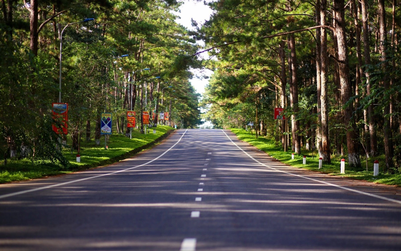
The road leading to the town of Mang Den runs through a pine forest. Photo: Mangdentrongtoi
Stretching across almost the entire plateau and lining the main access roads to the hill station, the pine forest is the scenic and ecological backbone of the region. This primary forest, made up mainly of two- and three-needle pines, regularly rises more than fifteen metres high, filtering the sunlight to create shifting patterns of shade on a ground carpeted with russet needles. Exploring on foot or by scooter along the forest tracks that plunge beneath the canopy, you immediately feel the temperature drop and breathe air heavy with the scent of resin. This continuous curtain of greenery shelters the town from the strong winds of the highlands and is home to discreet wildlife such as songbirds, offering travellers a place to walk that is completely cut off from the bustle of the city and a raw immersion in what defines the forest identity of Kon Plông.
The century-old architecture and woodwork of Kon Tum’s Romanesque church

Kon Tum cathedral is more than 100 years old. Photo: Kon Tum city website
Located in the heart of the town of Kon Tum, the obligatory logistical stop before climbing the pass that leads to the plateau, this monumental cathedral built in 1913 by French missionaries is a unique masterpiece of architectural fusion. Built entirely of ironwood (cà chít) using the traditional mortise-and-tenon joinery method without a single metal nail, the building combines the rigour of the European Romanesque style with the structural lines of the communal houses (Nhà Rông) of the Ba Na ethnic group. The dark wooden façades, carved with indigenous geometric motifs, open onto a bright nave where pointed arches support a ceiling of straw and lime mortar. Walking along the shaded outer galleries and observing the details of the colourful stained-glass windows helps you grasp the history of the province’s cultural blending, making this heritage stop an essential historical introduction to understanding the highlands.
Climate and the best time for a stay at altitude
Măng Đen has a temperate mountain climate, with mild temperatures all year round, generally ranging between 16 and 22 degrees. The most recommended time to plan a stay is from November to April, during the dry season, when sunny days and cool nights are ideal for hiking and photographing the mountain landscapes. It is also during this period, between December and January, that the cherry trees bloom, turning the landscape into a colourful picture. The rainy season, from May to October, brings regular rainfall and very dense mists that sometimes limit visibility on the mountain passes, but give the pine forests a mystical atmosphere and an intense coolness much sought after by city dwellers escaping the heatwave.
The balance of a forest plateau facing its tourism future
Măng Đen draws its contemporary value from its ability to preserve its original forest cover and its provincial calm in the face of the pressures of urban development. Local planning regulations limit the height of buildings and protect the pine forests, ensuring that the hill station’s forest identity endures. This destination is an essential stop for travellers keen to discover the Central Highlands from a natural and intimate angle, offering a vivid immersion in the cool mountain air and the rural heritage of inland Vietnam.
Where: Kon Tum
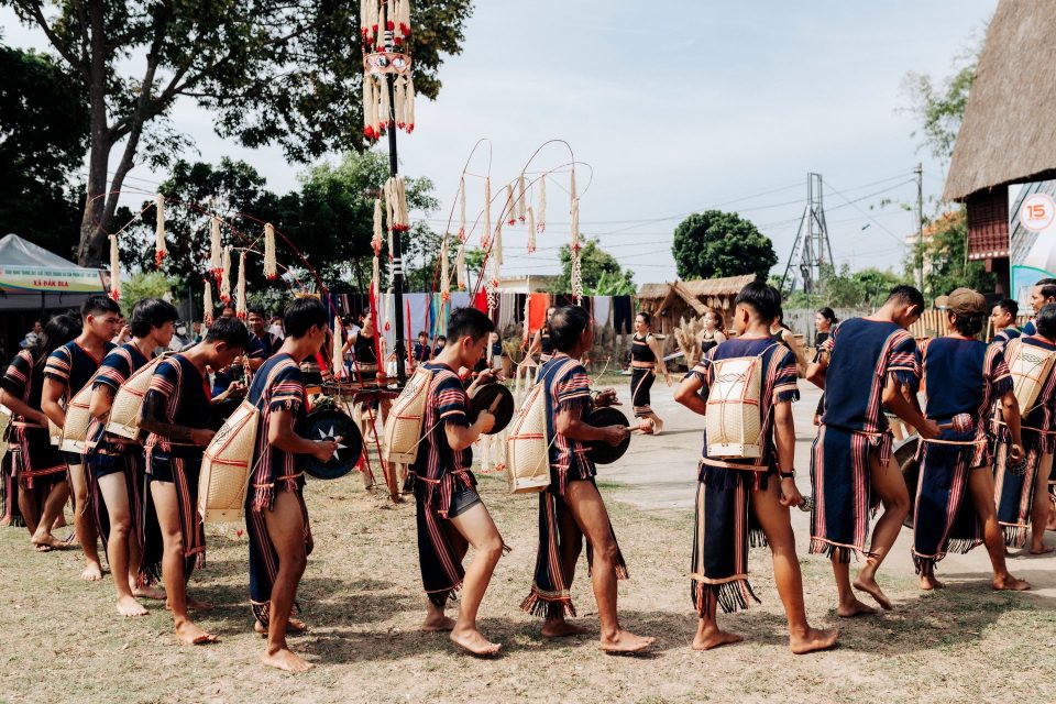
The communal houses of the highlands and the Mang Den pine forest
- Kon TumPhường Kon Tum, Tỉnh Quảng Ngãi — former Kon Tum province
- Nearest airport and stationPleiku Airport, about 39 km · Da Nang Railway Station
- NearbyPleiku, Quy Nhon, My Son


Similar experiences
-
 Tra Que Vegetable Village
By bike from the old town to the vegetable village of Tra Que
Set off while the streets are still quiet, ride through the fields to the vegetable village, learn to grow vegetables with the villagers, then stop off at An Bang beach. View the experience -
 Phong Nha
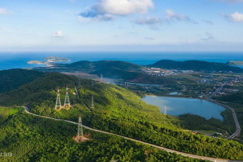
Crossing the Deo Ngang Pass: exploring a historic and natural frontier of Vietnam
Photo: Nguyen Thanh Hai The Deo Ngang Pass, rising to an altitude of 256 metres at the top of the Hoành Sơn mountain range,… View the experience -
 Phu Quoc
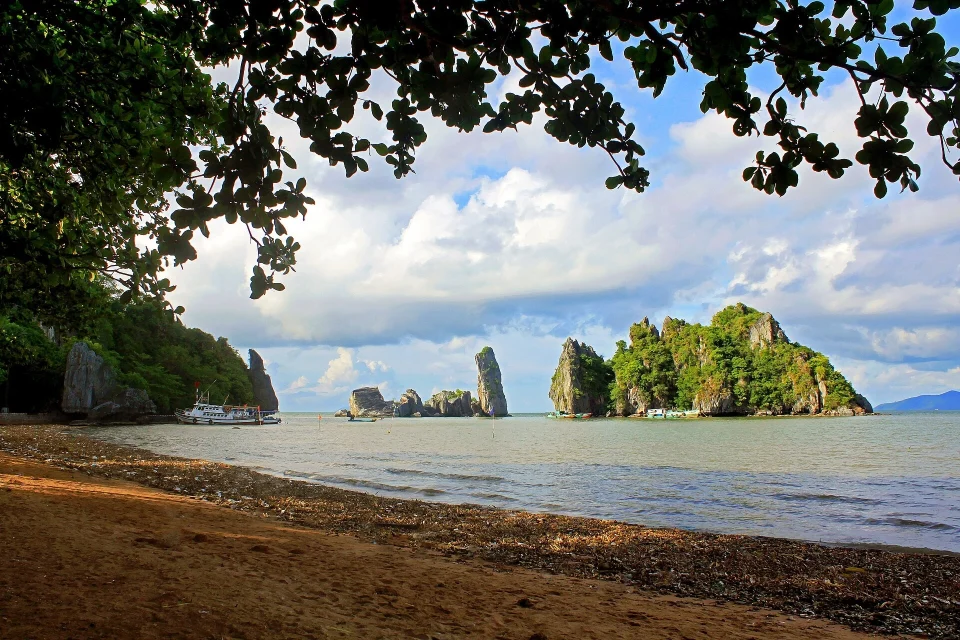
The Ha Tien coast: an immersion between pirate legends and the secret islands of the deep Mekong
Located at the north-western tip of Kiên Giang province, right on the border with Cambodia, the town of Hà Tiên stretches along the Vĩnh… View the experience -
 Hanoi
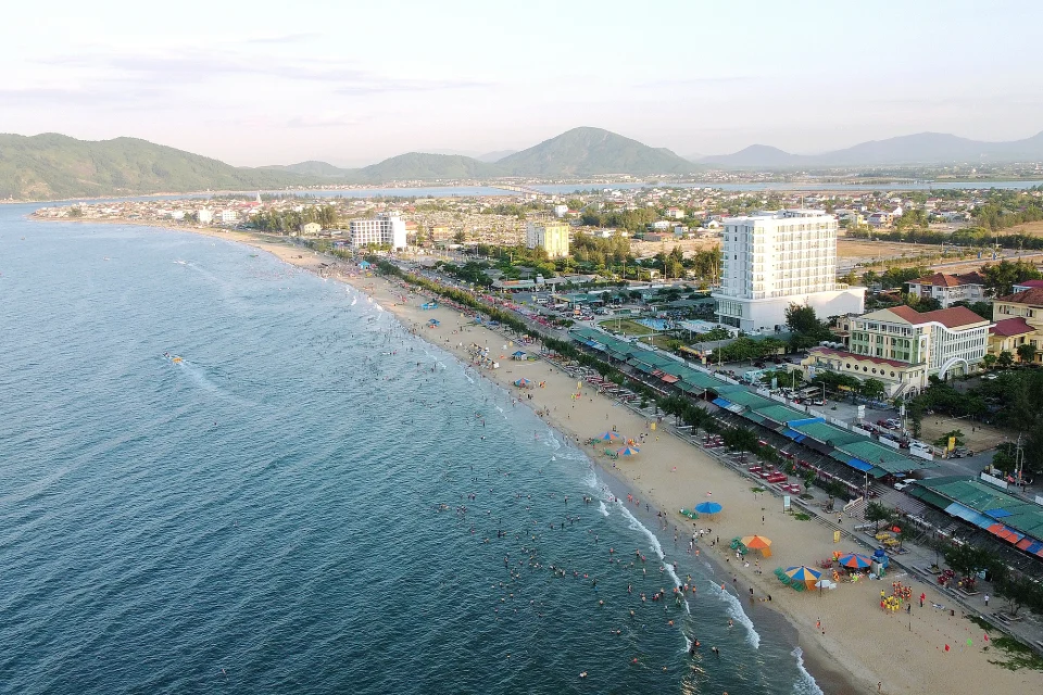
A stay at Thien Cam beach: immersed in an unspoilt bay in Ha Tinh
Photo: Ha Tinh Journal The coast of Ha Tinh province, around 400 kilometres south of Hanoi, is home to one of the most distinctive… View the experience