

Crossing the Deo Ngang Pass: exploring a historic and natural frontier of Vietnam
- Recommended months
- March – august Spring · Summer
Why try it?

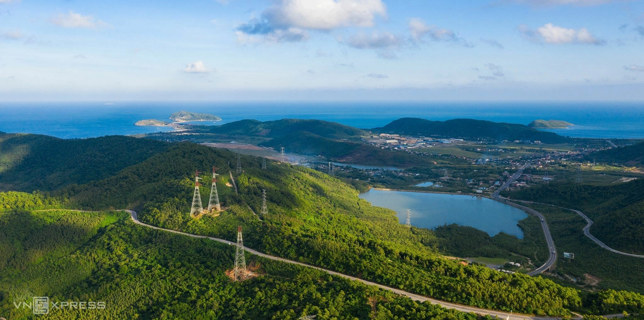
Photo: Nguyen Thanh Hai
The Deo Ngang Pass, rising to an altitude of 256 metres at the top of the Hoành Sơn mountain range, is one of the most famous and historically charged geographical barriers in Vietnam. Lying on National Highway 1A, the pass marks the exact natural border between Ha Tinh province to the north and Quang Binh province to the south. Crossing this narrow stretch where the mountains literally plunge into the East Sea, Deo Ngang offers a spectacular and cultural alternative to journeys across the plains. For travellers crossing the country from north to south, going over this historic pass reveals a rugged landscape where relics of the feudal and colonial past sit alongside serene sea views.
Geographical location and getting there
The Deo Ngang Pass slots smoothly into a road itinerary along the North Central coast. Located about 75 kilometres south of Ha Tinh city and 65 kilometres north of Dong Hoi city (Quang Binh), the pass can be reached by car, bus or motorbike. Since the Deo Ngang road tunnel was built, most heavy and fast traffic bypasses the summit, which has made the old winding road over the pass particularly quiet, safe and well suited to discovery tourism. For travellers going by train, Vinh or Dong Hoi railway stations are the nearest arrival points, followed by a road journey of about one to two hours to reach the site.
Major sights and memorable experiences at Deo Ngang
-
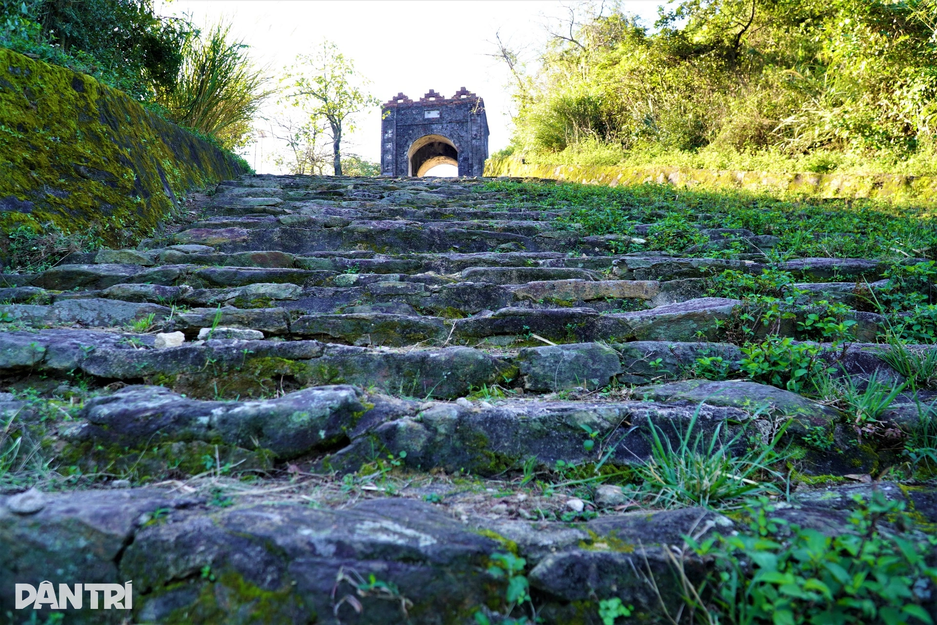
The Hoanh Son Quan gate. Photo: Dan Tri Journal -
The Hoanh Son Quan gate and the relics of the imperial frontier: Standing right at the top of the pass, this imposing brick and stone gate was erected in 1833 during the reign of Emperor Minh Mang of the Nguyen dynasty. Nicknamed “the heavenly gate of the southern land”, it served as a border checkpoint and a strategic military fortification protecting the imperial capital of Hue. Visitors can see the period defensive architecture, the moss-covered stone steps and the historic impacts on the walls, while enjoying an unobstructed view over the two neighbouring provinces.
-
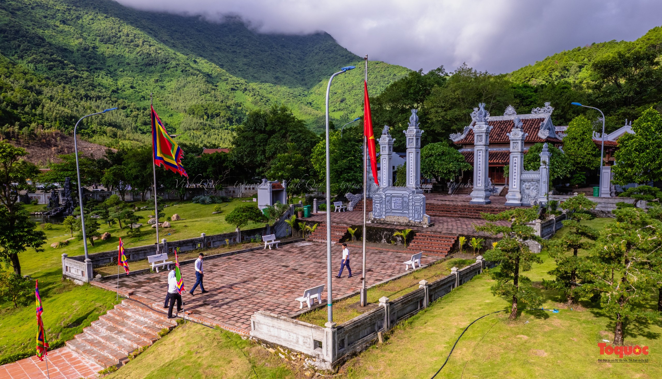
The temple of the Holy Mother Lieu Hanh. Photo: Vinh Quy -
The temple of the Holy Mother Lieu Hanh at the foot of the pass: Set on the southern slope, which belongs to Quang Binh province, this ancient religious complex is dedicated to one of the four immortal deities of the Vietnamese pantheon. Surrounded by a pine forest and facing a crystal-clear stream, the temple features traditional architecture with curved roofs and glazed ceramic dragon sculptures. It is an ideal place to understand the worship of the Mother Goddess (Đạo Mẫu), where travellers can watch locals come to burn incense and ask for protection before crossing the mountain.
-

Photo: Ha Tinh Journal -
The panorama over Vung Ang bay and Hòn La beach: Climbing the hairpin bends of the pass opens up spectacular views of the region’s coastal geography. On one side, the northern slope reveals the industrial and maritime development of Vung Ang bay in Ha Tinh; on the other, the southern slope looks out over the calm waters of Hon La bay in Quang Binh, dotted with small rocky islands and wild beaches. Stopping at the viewpoints along the road lets you capture the striking contrasts between the dark rock of the mountain and the deep blue of the sea.
-
Literary immersion and the poetry of dusk: Deo Ngang holds a unique place in Vietnamese culture for having inspired many poets, notably the famous poetess Huyện Thanh Quan and her classic work Qua Đèo Ngang. The most authentic experience is to travel over the pass in the late afternoon, as the mist begins to wrap around the peaks and the last rays of the sun light up the fishing hamlets below. This melancholy, timeless atmosphere lets you feel the solitude and raw beauty that have run through centuries of national literature.
Climate patterns and the best season for your stay
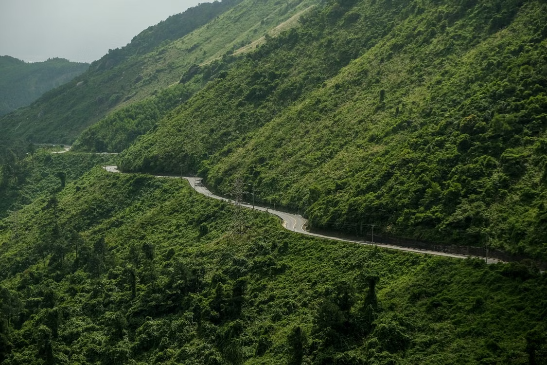
Photo: Duong Nhan
When planning a trip over Deo Ngang, you need to take into account the weather conditions specific to the Hoành Sơn range, which acts as a climate barrier. The period from March to July is ideal for a visit, with clear skies, excellent visibility out to sea and warm temperatures softened by the altitude. It is the perfect season for photography and hiking around the monuments. The rainy season, from September to November, on the other hand, changes the experience radically: the pass is frequently shrouded in very thick fog that reduces visibility to a few metres, as well as intense rainfall and the risk of landslides, which makes crossing by road inadvisable.
The balance of a preserved natural and historic heritage
The Deo Ngang Pass draws its value from its ability to preserve its historic integrity despite the modernisation of the surrounding transport infrastructure. Ironically, the opening of the road tunnel saved the pass from mass tourism and pollution, turning it into a haven of tranquillity for lovers of history and wide open spaces. The site is an essential cultural and geographical stop for travellers keen to understand the complexity of Vietnam’s terrain, offering a spectacular and emotionally charged transition between the provinces of the North Central region.
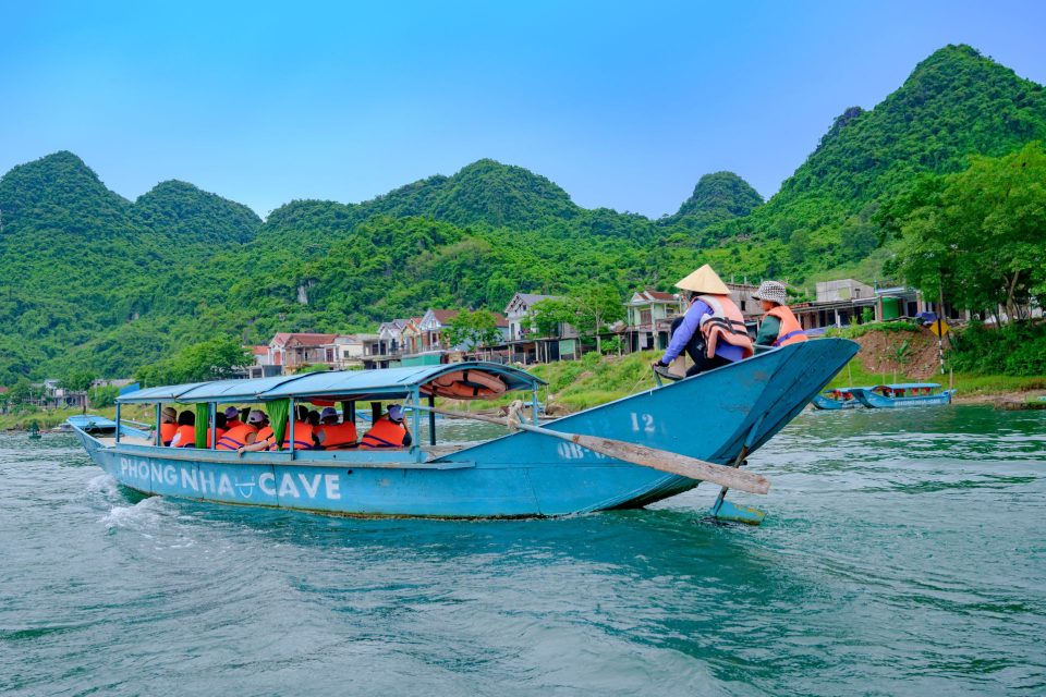
Where: Phong Nha
Caves in the heart of primary forest
- Phong NhaXã Phong Nha, Tỉnh Quảng Trị — former Quang Binh province
- Nearest airport and stationDong Hoi Airport, about 34 km · Dong Hoi Railway Station
- NearbyHue, Da Nang, My Son

Itineraries passing through Phong Nha
Itineraries that stop in Phong Nha, focusing on a single region or crossing all three.
-
 30 days
The whole country, at an unhurried pace
A slow journey through the three regions, with time to linger in each place. View details → -
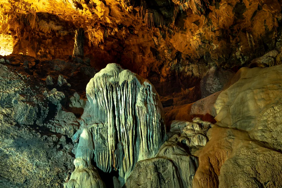 20 days
The whole country, with caves thrown in
From north to south, with the spectacular caves of Phong Nha as a bonus. View details → -
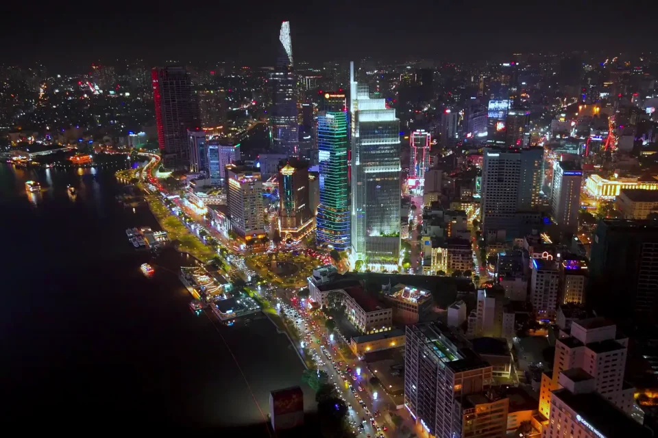 15 days
The great classic from north to south
The great classic from north to south in 15 days, via Hanoi, Ha Long Bay, Ninh Binh, Phong Nha, Hue, Hoi An, Ho Chi Minh City and Can Tho: day-by-day programme, route map, best season, budget and travel agencies able to organise it. View details →
Similar experiences
-
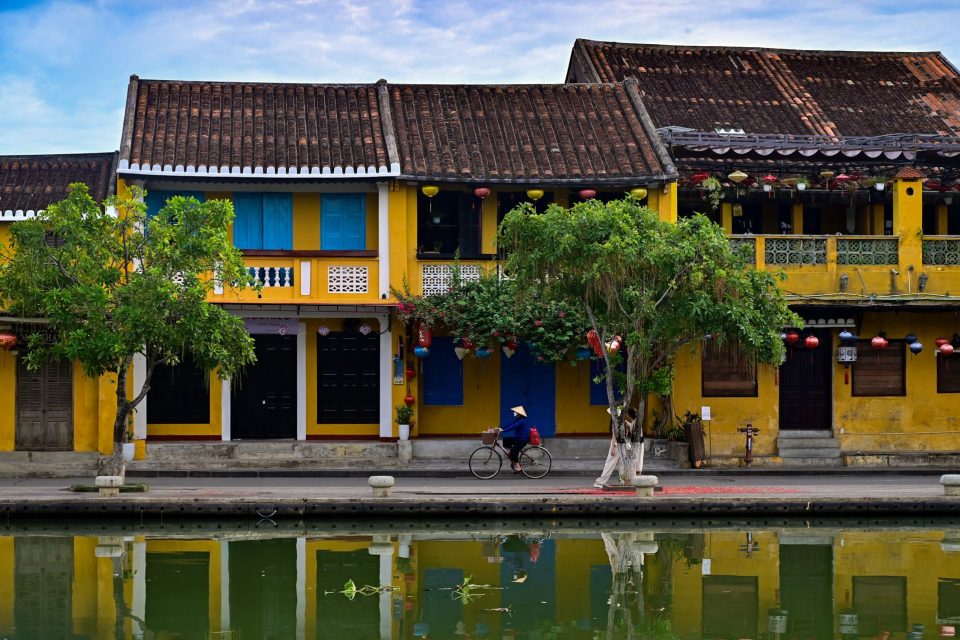 Tra Que Vegetable Village
By bike from the old town to the vegetable village of Tra Que
Set off while the streets are still quiet, ride through the fields to the vegetable village, learn to grow vegetables with the villagers, then stop off at An Bang beach. View the experience -
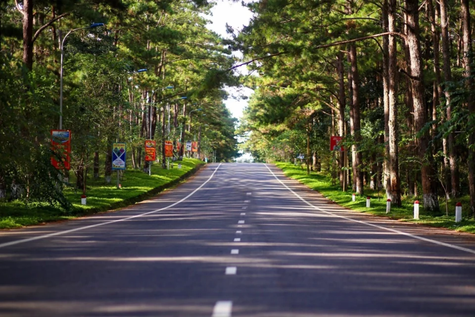 Kon Tum
Mang Den: high-altitude mists and the gentle forests of the Central Highlands
Located more than 1,200 metres above sea level in Kon Plông district, in the north of Kon Tum province, the small hill station of… View the experience -
 Phu Quoc
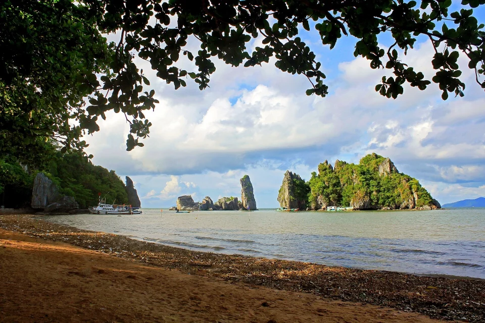
The Ha Tien coast: an immersion between pirate legends and the secret islands of the deep Mekong
Located at the north-western tip of Kiên Giang province, right on the border with Cambodia, the town of Hà Tiên stretches along the Vĩnh… View the experience -
 Hanoi
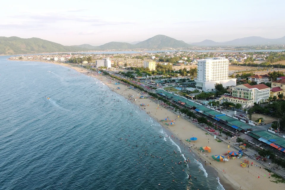
A stay at Thien Cam beach: immersed in an unspoilt bay in Ha Tinh
Photo: Ha Tinh Journal The coast of Ha Tinh province, around 400 kilometres south of Hanoi, is home to one of the most distinctive… View the experience