

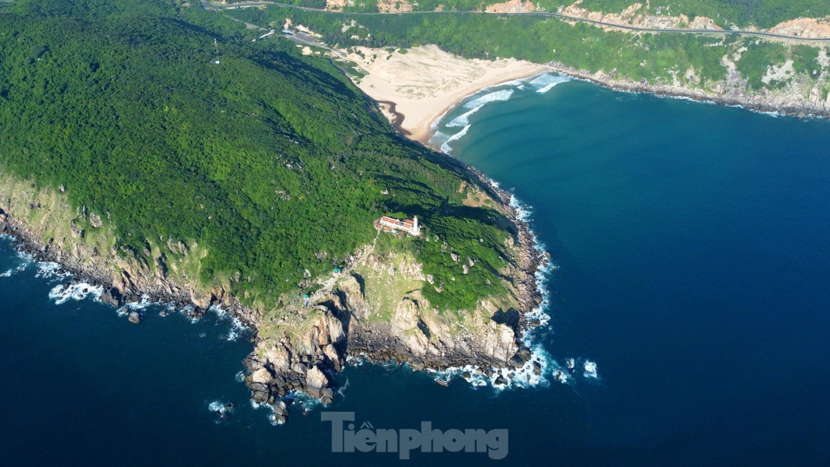
History and Geography of Vietnam
(Photo: Tiền phong)
To understand Vietnam is to delve into a thousand-year history marked by resilience and to discover an exceptionally diverse geography, sculpted by mountains and water.
1. HISTORY
The history of Vietnam is a fascinating chronicle of imperial dynasties, colonial periods and a constant struggle for independence.
-
Origins and dynasties: The story begins with the Hùng kings and the kingdom of Văn Lang. For almost a millennium, Vietnam alternated between periods of Chinese domination and sovereignty under great dynasties (Lý, Trần, Lê, Nguyễn), which left behind citadels and Confucian traditions.
-
The colonial era and French influence: From the late 19th century to the mid-20th century, Vietnam was part of French Indochina. This period left an indelible mark on architecture (Hanoi, Saigon), cuisine (the Bánh mì) and town planning.
-
Independence and unification: After decades of conflict in the 20th century, the country proclaimed its independence in 1945 and was officially reunified in 1976. Since the “Đổi Mới” reforms of 1986, Vietnam has become one of the most dynamic economies in Asia.
2. GEOGRAPHY
Located on the eastern coast of the Indochinese peninsula, Vietnam has a distinctive “S” shape, stretching some 1,650 km from north to south.
-
The North (Upper Tonkin): A region dominated by rugged mountains, including Fansipan (the highest peak in Indochina). It is also home to the Red River Delta, the cradle of Vietnamese civilisation.
-
The Centre (Annam): Characterised by a narrow strip of land bordered by the Annamite Range to the west and white sandy beaches to the east. This is where the historic cities of Hue and Hoi An are found.
-
The South (Cochinchina): Made up mainly of the vast Mekong Delta, an extremely fertile region nicknamed the country’s “rice bowl”, criss-crossed by a dense network of canals.
3. GEOLOGY AND LANDSCAPES
Vietnam’s geology offers natural spectacles listed as UNESCO World Heritage.
-
Karst and bays: The famous Ha Long Bay is a spectacular example of drowned karst, with thousands of limestone peaks rising out of emerald waters.
-
Monumental caves: Phong Nha-Kẻ Bàng National Park is home to the largest caves in the world (including Son Doong). These limestone formations are more than 400 million years old.
-
Volcanic plateaux: The Central Highlands (Tay Nguyen) have very rich red basalt soils, the result of ancient volcanic activity, ideal for growing coffee and pepper.
4. QUICK FACTS
-
Area: About 331,212 km².
-
Borders: China to the north, Laos and Cambodia to the west, and the East Sea (South China Sea) to the east and south.
-
Coastline: More than 3,260 km of coast.
Good to know
-
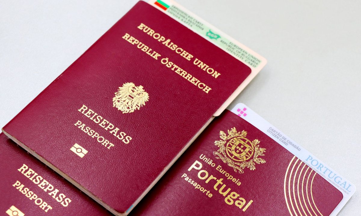 Visa
Do I need a visa?
Vietnam issues e-visas to nationals of many European countries. The conditions, the permitted length of stay and the open entry points change regularly. Read the guide -
 Communication
Phone and internet: how does it work?
Tourist SIM cards and eSIMs can be bought as soon as you land at the airport, simply by showing your passport. 4G covers all three regions; hotels and cafés all have Wi-Fi. Read the guide -
 Health
Do I need vaccinations?
No vaccinations are compulsory for travellers coming from Europe. Take out travel insurance covering medical expenses and pack mosquito repellent for the forest and the Mekong Delta. Read the guide -
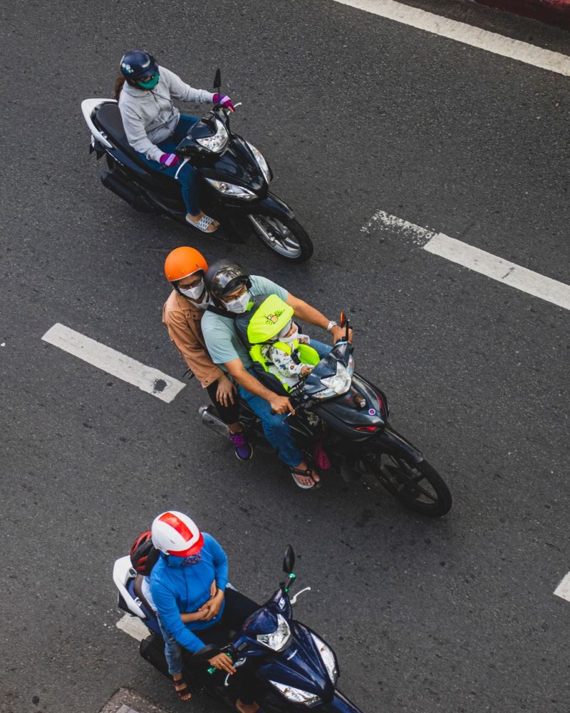 On the street
How do you cross the street through the motorbikes?
Walk slowly and at a steady pace, without stopping suddenly or stepping back: the riders will steer around you. Read the guide -
 Safety
How do I keep my belongings and documents safe?
Leave your passport in the hotel safe and carry a copy with you; in markets and busy streets, wear your bag in front of you. Read the guide -
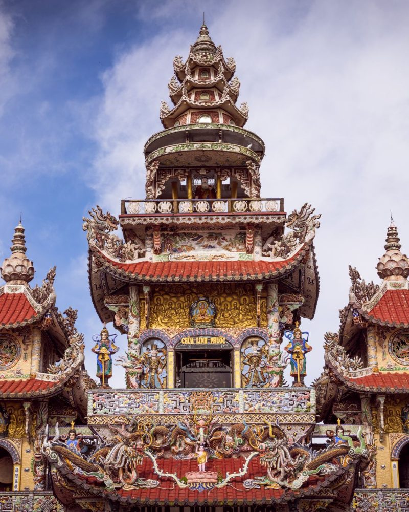 Etiquette
Pagodas and temples: what should you know?
Cover your shoulders and knees, take off your shoes before entering the sanctuary, speak quietly and ask permission before photographing local people. Read the guide -
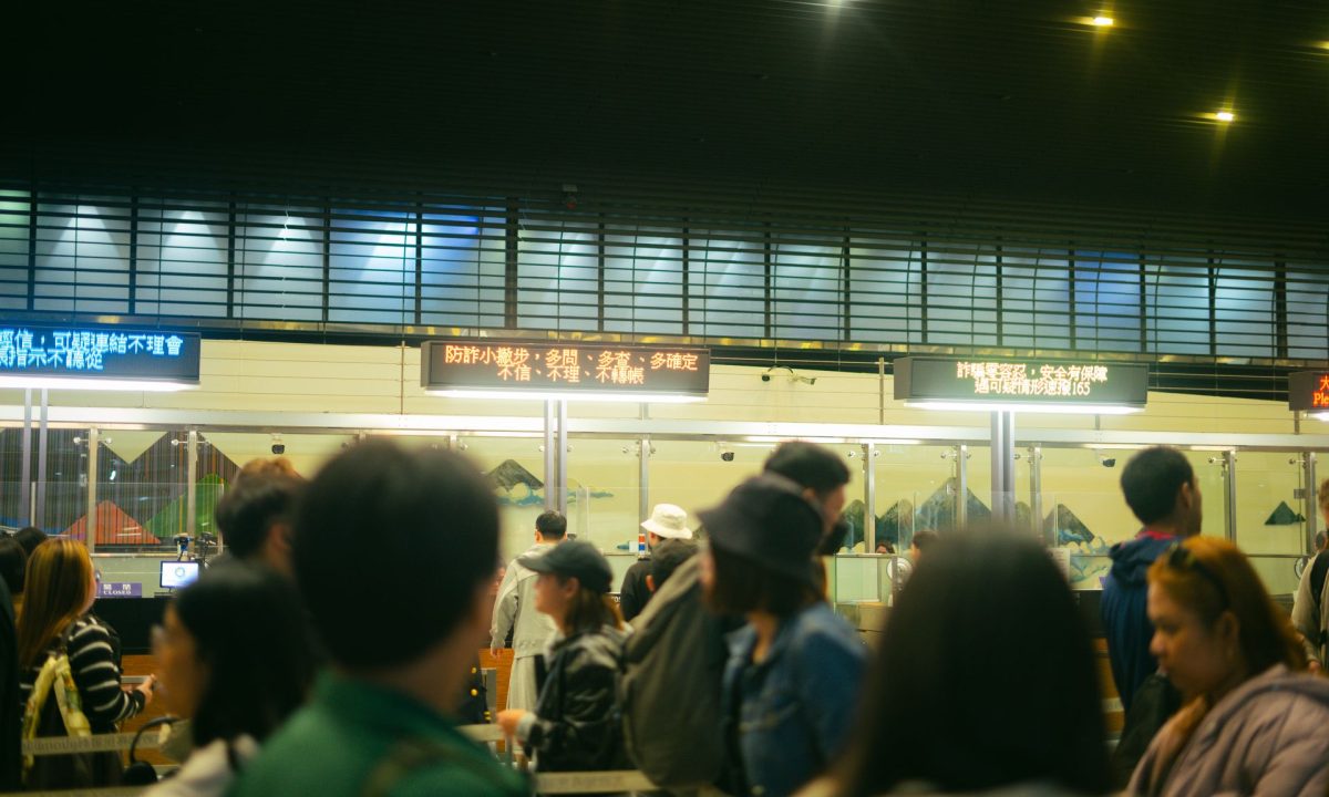
NEW PRE-ARRIVAL IMMIGRATION PROCEDURE FOR FOREIGN VISITORS – FROM 15 APRIL 2026
From 15 April 2026, the electronic pre-entry declaration system is being rolled out simultaneously at Vietnam's main international airports. This regulation helps to streamline… Read the guide -
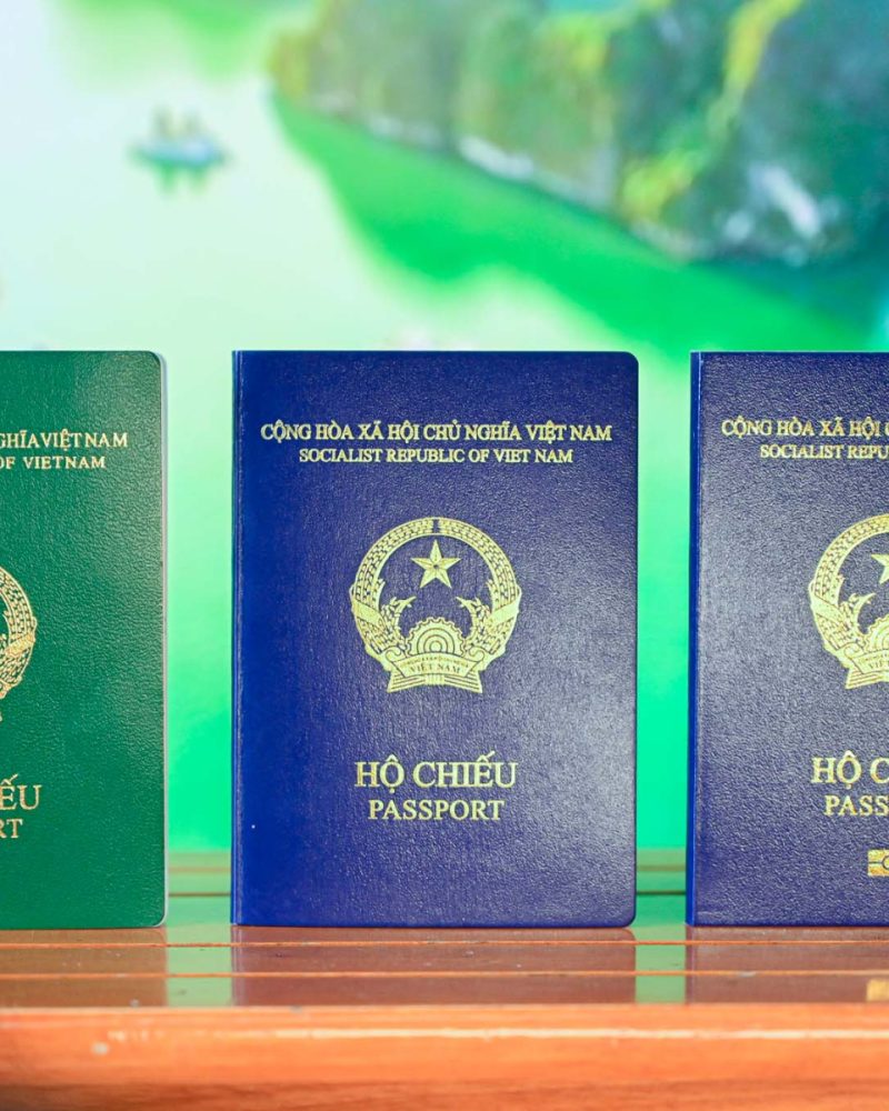
Passport and Visa for Vietnam
(Source: Nam Air) 1. Passport To enter Vietnam, your passport must meet the following conditions: Validity: The passport must be valid for at least… Read the guide -
Customs and Immigration in Vietnam
Foreign visitors complete entry procedures at Noi Bai International Airport (Photo: Giang Huy) 1. Immigration procedures Since April 2026, Vietnam has modernised its procedures… Read the guide -

Useful numbers and emergencies in Vietnam
(Photo: Christoph Burgstedt) 1. National emergency numbers (free services) These numbers can be reached 24 hours a day from any phone (landline or mobile).… Read the guide -
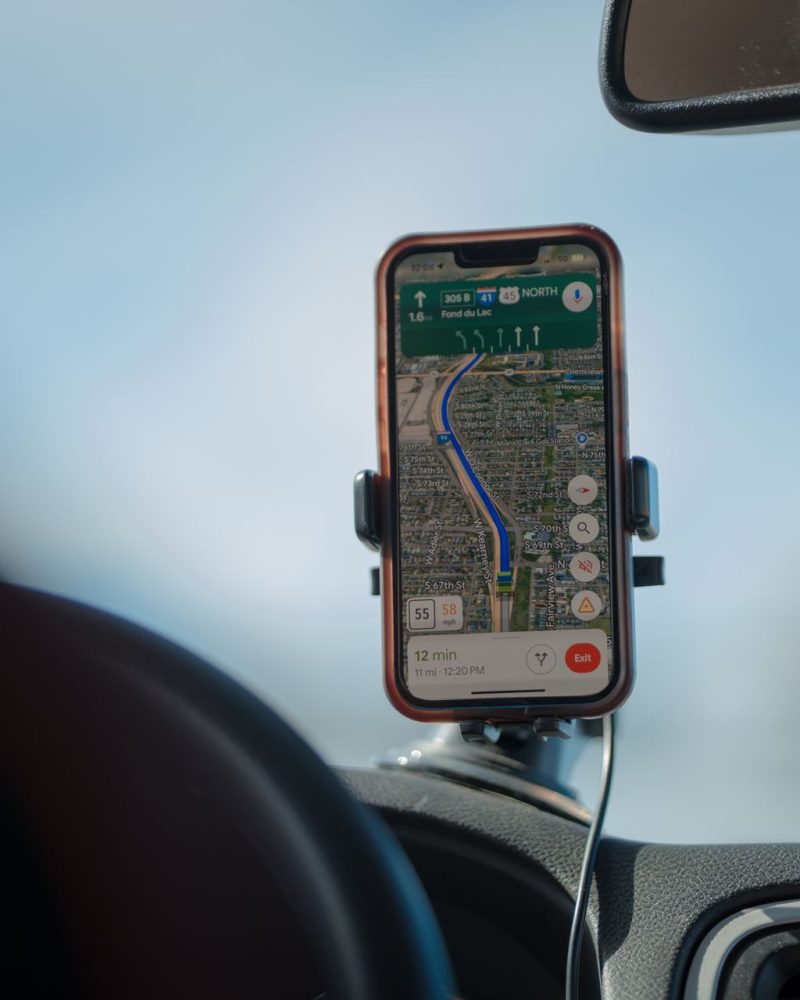
Essential apps for Vietnam
(Photo: Apple) 1. Transport and mobility (getting around) Vietnam has a highly developed digital transport ecosystem. Forget waiting by the roadside: everything happens on… Read the guide -
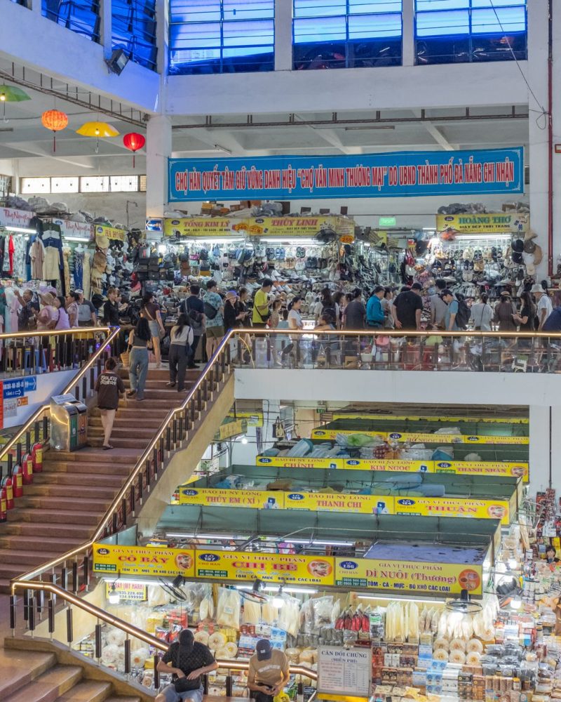
Language and Communication in Vietnam
The president of Nvidia Corporation having a drink in Vietnam (Photo: Dân Trí) Although Vietnamese is the official language spoken throughout the country, many… Read the guide -
In-depth guide: Practical tips for travelling safely during the monsoon and typhoon season
Travelling in Southeast Asia, and particularly in Vietnam, in July and August – a period of intense monsoon activity and typhoon risk – presents… Read the guide
From the first read to departure day
Seasons, itineraries, formalities, budget, flights and the service directory: all the practical information you need before booking, gathered in one place.