



Emerald mirrors and the murmurs of Tuyen Lam lake
- Recommended months
- November – march Spring · Autumn · Winter
Why try it?
Located in the Central Highlands region (Tây Nguyên), about 300 kilometres north-east of Ho Chi Minh City, the province of Lâm Đồng spreads across a granite plateau with an average altitude of around 1,500 metres. This territory, characterised by its rugged relief and vast coniferous forests, offers a striking thermal contrast with the tropical plains of the south of the country, enjoying a temperate climate all year round. Far from being limited to the urban dynamism of its capital, Da Lat, the province is home to large-scale water and forest areas. Lingering here for a stay allows you to explore unspoilt nature and to understand how natural resources are managed at altitude, a stage that fits strategically into any itinerary crossing central Vietnam.

The aquatic and forest ecosystem of Tuyền Lâm lake
Located on the immediate outskirts of Da Lat, at the foot of Phượng Hoàng mountain, Tuyền Lâm lake is the largest artificial body of water in the province, covering more than 320 hectares. This lake, created in the 1980s by damming the Tía river, is surrounded by a dense forest of three-needle pines that helps regulate the temperature of the local microclimate. The shores were laid out so as to preserve the original topography, alternating small shaded coves and wooded peninsulas.
The early hours of the morning, between 6 am and 8 am, are the ideal time of day to walk the trails along the lake. It is at this hour that a thick mist drifts across the surface of the water before dissipating under the first rays of the sun, offering optimal visibility over the canopy and making it possible to observe the local birdlife without suffering the rising temperatures of midday.
River trips and excursions towards the Tía river
The exploration of Tuyền Lâm lake continues out on the water through excursions in light boats or canoes, allowing you to travel up towards the upper sources of the basin, in particular the area of the Tía river (Suối Tía). This slow navigation reveals a singular ecosystem in which tree roots sink directly into the sediments of the floodplains.
The river route highlights the contrasting landscapes of the uplands, where the calm water of the lake winds into the heart of the forested valleys. The steep banks sometimes shelter small wooden observation structures used by forest rangers to watch for fires and wildlife. This waterborne circuit gives access to isolated sectors that cannot be reached by land, where the silence of the pine forest underlines the site’s vocation for ecological conservation.

Spiritual architecture and integration into the landscape at Trúc Lâm monastery
The cultural and spatial identity of the area is inseparable from the presence of the Trúc Lâm Zen monastery, which overlooks the northern shore of Tuyền Lâm lake. This religious establishment, founded at the end of the 20th century, illustrates the principles of vernacular architecture integrated into its environment, with wooden buildings and glazed-tile roofs that follow the natural slope of Phượng Hoàng mountain.
The monastery can be reached from the lake by a brick staircase that runs through a bamboo forest, or from the town by a cable car crossing the valleys. A visit to this complex, particularly rewarding in mid-afternoon when the light fades over the gardens of temperate-climate flowers, shows how the sacred space connects with the overall landscape management of the site, with the monks taking an active part in maintaining the surrounding forest.
Practical information, accessibility and seasonality
In terms of logistics, Tuyền Lâm lake lies about 6 kilometres south of Da Lat town centre. It is easily reached via National Route 20 or the Prenn Pass bypass, with a road journey of less than twenty minutes from the main hotel hubs. Lâm Đồng province itself is served by Liên Khương airport, located 30 kilometres to the south, making connections with Hanoi and Ho Chi Minh City easy. A visit of four to six hours is enough to combine a walk along the shores, a boat trip on the Tía river and a visit to the monastery.
To fully appreciate the landscapes of the highlands, the dry season, which runs from November to April, remains the most favourable period. Rainfall is minimal, the forest tracks remain passable and the night-time temperatures, though cool, guarantee optimal clarity on the horizon in the morning. The rainy season, from May to October, is marked by regular late-afternoon showers that disrupt boat trips, but in return offers maximum water levels and particularly dense forest vegetation.
A territorial balance between preservation and openness
Through the management of the Tuyền Lâm lake basin, the province of Lâm Đồng demonstrates that it is possible to maintain a functional balance between water management, the preservation of high-altitude forests and the integration of spiritual sites. Discovering this lakeland area gives travellers precise geographical and ecological landmarks on the distinctive character of the mountain lands of central Vietnam, far from the bustle of the coastal plains.
Photo: VNA
Where: Da Lat
The city of a thousand flowers in the highlands
- Da LatPhường Xuân Hương - Đà Lạt, Tỉnh Lâm Đồng
- Nearest airport and stationLien Khuong Airport (Da Lat), about 23 km · Nha Trang Railway Station
- NearbyNha Trang, Buon Ma Thuot, Mui Ne

Services in Da Lat
-
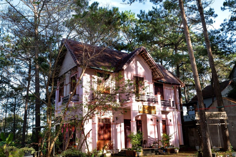
 AccommodationDa Lat
Pine Hill Đà Lạt
Wooden chalets among the pine-covered hills, fifteen minutes from Xuan Huong Lake. View the business profile
-

 Local agencies – DMCWhole country
Lotus d’Asie Voyages
Tailor-made trips for European travellers, with guides in all three regions. View the business profile
Itineraries passing through Da Lat
Itineraries that stop in Da Lat, focusing on a single region or crossing all three.
-
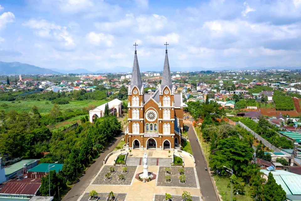 30 days
Vietnam in retirement
A gentle itinerary, with enough rest to savour each region. View details → -
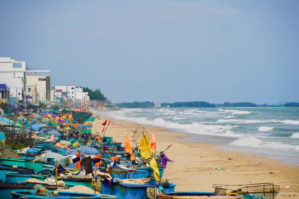 30 days
The whole country, at an unhurried pace
A slow journey through the three regions, with time to linger in each place. View details → -
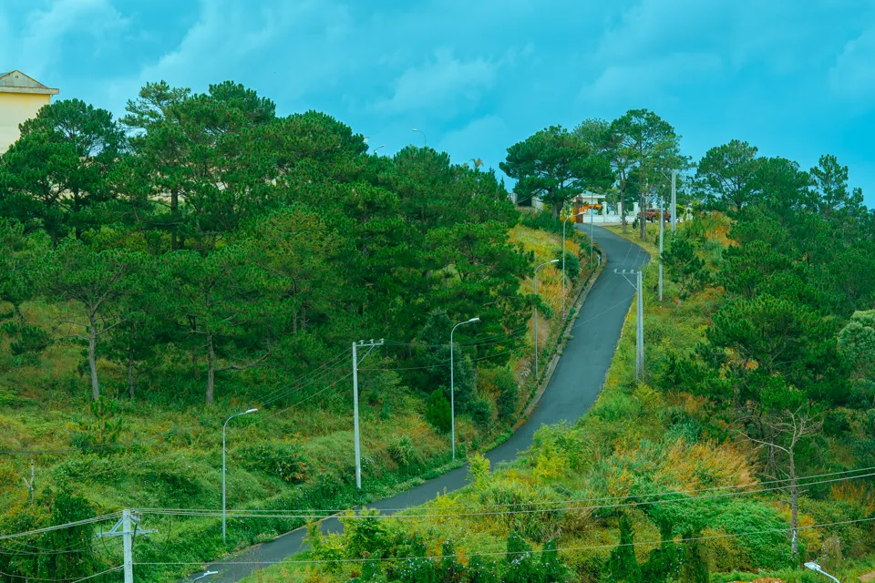 20 days
Da Lat – Phu Quoc
The cool air of the highlands and the islands of the South, for days of complete serenity. View details →